


Hotline: +84 977257765
MARINE SHIP MATERIALS
REPAIR & MAINTENANCE
ONLINE SUPPORT
Hotline:
+84 977257765
Email: peter@sgcl.com.vn


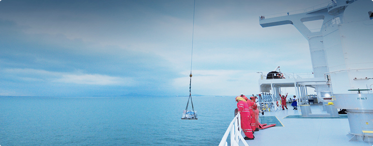
Project Update


DESCRIPTION PRODUCT DETAILS
Reeds Marine Distance Tables are the perfect ready-reckoner for any navigator wanting a quick and accurate distance reference between all the regularly used ports around the world. The book is divided into key ‘market areas’, and includes a pull-out map for area indentification and chartlets for easy see-at-a-glance port reference. Traffic Separation Schemes are calculated into the tables and the distance to any port not included can easily be determined by making an approximation from the next closest port. Useful tables of major 'turning points' around the world (such as Cape Finisterre, Cape Horn and the Dover Straits), time zones and time and speed conversion tables are also included. Reeds Marine Distance Tables are an invaluable reference for ship owners, operators, brokers and navigators. Using this one reference, anyone can calculate the shortest or most economical distances between all the major ports in the world. This edition has a newly improved layout for ease of use, and additional more-frequented ports added.

")
.jpg "Hải đồ Anh")


